Drone Roof Surveys in Yorkshire
Costs, benefits, legal rules, flight planning and the reporting process behind professional drone roof inspections.
What is a drone roof survey?
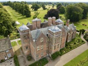
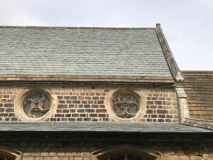
A drone roof survey is a planned aerial inspection used to capture detailed imagery of roof coverings, flashings, gutters, chimneys, rooflights and other high-level elements.
It can reduce the need for immediate ladder access, scaffolding or operatives walking on fragile roof surfaces. The imagery can support maintenance planning, storm-damage assessment, repair quotations and decisions about whether closer physical investigation is required.
The strongest surveys combine competent flight operation with roofing knowledge. Capturing clear images is only the first stage; the findings must then be interpreted in the context of the roof system, materials and known building history.
A drone survey is a visual inspection—not a complete diagnosis
It can reveal visible defects, but it cannot normally confirm concealed timber decay, hidden moisture, membrane adhesion, structural adequacy or the exact route of water ingress without further investigation.
What can a drone roof survey identify?
Slipped or broken coverings
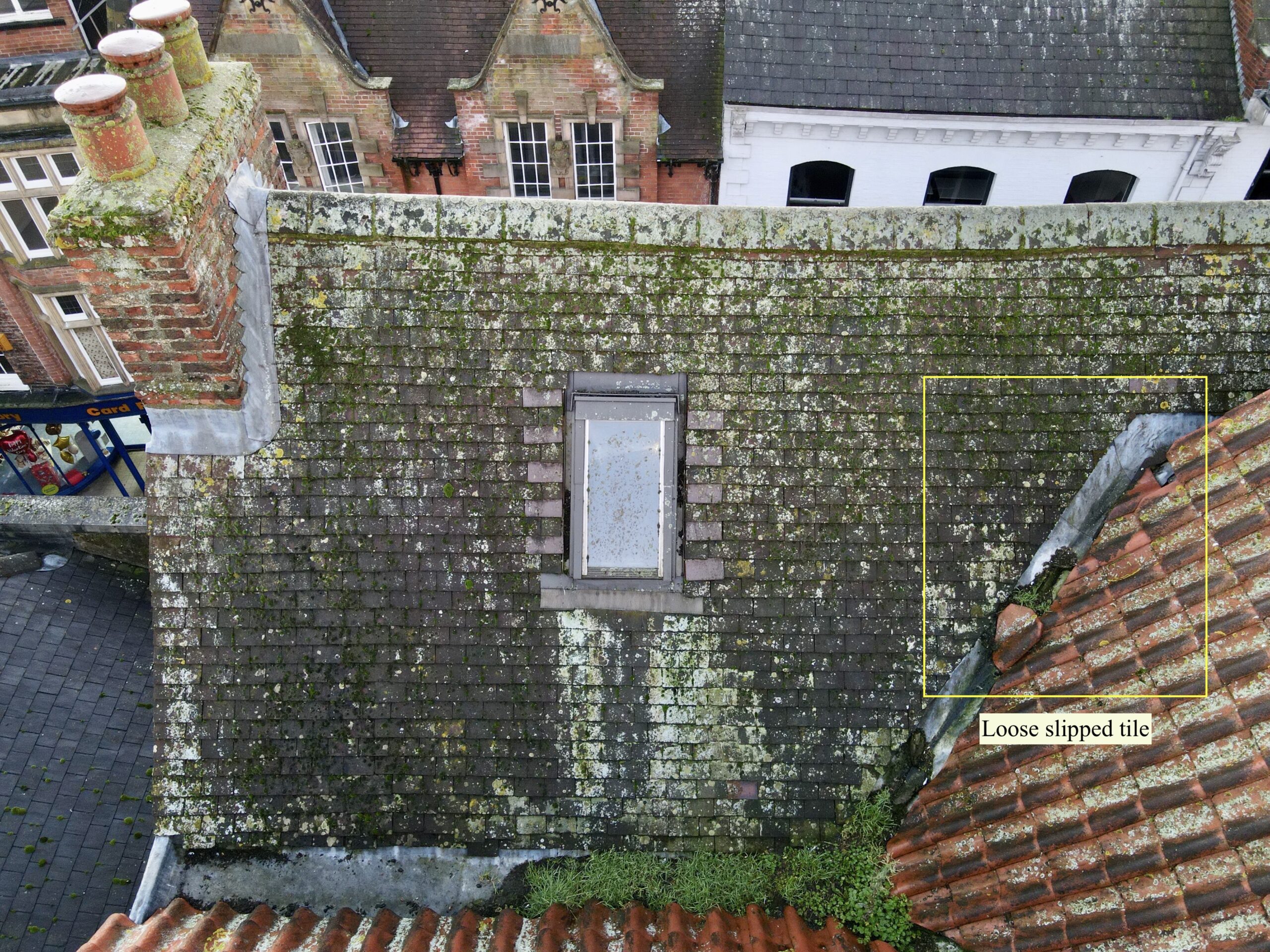
Missing, cracked, displaced or weathered tiles and slates can often be seen clearly.
Leadwork defects
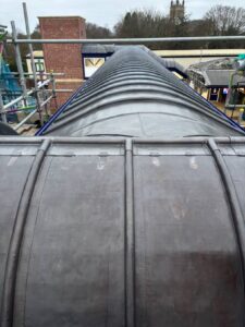
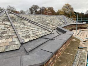
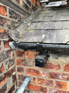
Open joints, splitting, displacement and visible failure around flashings, valleys and gutters.
Flat-roof defects
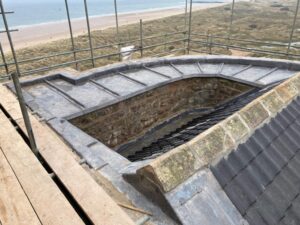
Ponding, blistering, open laps, debris, surface damage and failed previous repairs.
Rainwater systems
Blocked outlets, damaged gutters, overflowing sections and disconnected components.
Chimneys and masonry
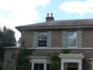
Cracked mortar, damaged pots, open joints and visible deterioration at high level.
Rooflights and penetrations
Damaged glazing, failed seals, open interfaces and defective kerbs.
Metal roofing
Visible corrosion, loose sheets, open laps, failed fixings and coating damage.
Storm damage
Displacement, impact damage, debris movement and newly exposed areas.
Maintenance needs
Vegetation, accumulated debris, local wear and areas requiring planned attention.
What imagery may support
- Maintenance planning.
- Repair prioritisation.
- Insurance evidence.
- Pre-purchase roof review.
- Commercial portfolio records.
- Before-and-after comparison.
What imagery cannot usually prove alone
- Hidden timber decay.
- Insulation saturation.
- Membrane adhesion.
- Structural adequacy.
- Exact water-entry routes.
- Concealed asbestos or fixing condition.
Drone survey benefits
Reduced access risk
High-level imagery can be obtained without immediately sending operatives onto a roof.
Lower disruption
Many surveys can be completed with less impact on occupants, customers or site operations.
Efficient coverage
Large roof areas and difficult details can be reviewed quickly when conditions allow.
Clear visual evidence
High-resolution images support explanation, annotation and later comparison.
Cost control
Initial imagery can help establish whether scaffolding, access equipment or opening-up is justified.
Maintenance records
Repeat surveys can track deterioration and completed repairs over time.
Fragile roofs
Useful where direct access could damage heritage slate, asbestos-cement or fragile rooflights.
Commercial planning
Supports budget planning across warehouses, schools, offices and industrial estates.
How much does a drone roof survey cost?
There is no single price for every drone roof survey. Straightforward residential flights normally cost less than complex commercial inspections or specialist reporting.
Basic visual capture
Usually involves a smaller property, straightforward airspace, limited roof complexity and a concise visual output.
Roofing interpretation
Adds systematic coverage, annotated defects, urgency grading and recommended next steps.
Commercial or specialist work
May involve larger roof areas, restricted sites, thermal sensors, repeat visits, portfolio reporting or additional authorisation.
Building size
Larger or multi-block properties require more flight time, imagery and analysis.
Roof complexity
Dormers, parapets, plant, multiple levels and hidden interfaces increase the inspection effort.
Airspace
Nearby airports, restricted zones or sensitive sites may require additional planning or permission.
Site controls
Public areas, exclusion zones, traffic and occupied commercial sites can add operational complexity.
Reporting level
Annotated reports, thermal analysis, mapping and cost recommendations require more professional time.
Urgency and travel
Emergency attendance, distance and repeat visits may affect the quotation.
Price should reflect both the flight and the professional interpretation
A low-cost image-only service is not equivalent to a roofing-condition report prepared by a contractor who can explain defects, limitations and repair priorities.
What rules apply to a drone roof survey?
The required registrations, competency and authorisation depend on the aircraft, location, nearby people and proposed operation.
Operator and flight requirements
- Flyer ID where required for the aircraft.
- Operator ID where required for camera-equipped drones.
- Suitable competency for the operating category.
- Commercial third-party insurance.
- Visual line-of-sight operation unless separately authorised.
- Compliance with height and airspace restrictions.
- No flight over crowds.
- Operational Authorisation where the proposed risk cannot be managed in the Open Category.
Site and data responsibilities
- Permission to use the launch and landing site.
- Airspace and local restriction checks.
- Risk assessment and emergency planning.
- Control of access around the flight area.
- Proportionate capture of neighbouring property.
- Secure storage of images and reports.
- Defined retention and access arrangements.
- Compliance with UK GDPR where personal data is recorded.
“Commercial” does not automatically mean one specific drone licence.
The operator must hold the registrations, competency and authorisation required for the aircraft and actual flight risk.
Neighbouring properties and UK GDPR
An elevated camera can unintentionally record gardens, windows, people, vehicles and adjoining buildings.
Defined purpose
Capture only the imagery needed for the roof inspection.
Proportionate framing
Avoid unnecessary views of neighbouring property and unrelated people.
Lawful processing
Establish the appropriate basis for collecting and using identifiable imagery.
Secure records
Restrict access and use suitable storage for images, video and reports.
Retention period
Keep data only for a justified period linked to the survey purpose.
High-risk processing
Consider a Data Protection Impact Assessment where the planned use creates higher privacy risk.
Aircraft, cameras and specialist sensors
Stable aircraft
Reliable positioning, obstacle awareness and suitable performance for the expected site conditions.
High-resolution camera
Clear still imagery for coverings, flashings, fixings, joints and high-level details.
Optical zoom
Useful for detail capture while maintaining safe separation from the building.
Thermal imaging
May identify surface-temperature anomalies associated with heat loss or moisture patterns.
Mapping software
Supports systematic capture, image organisation, orthomosaics and repeatable records.
Spare batteries
Supports safe completion without pressuring the operator to extend a flight beyond a sensible margin.
Ground controls
Cones, barriers, signage and communications help protect the operating area.
Reporting tools
Annotation and secure document systems turn imagery into a usable project record.
A temperature anomaly is not a confirmed leak
Thermal results depend on weather, solar loading, temperature difference, roof material and survey timing. An anomaly should normally trigger further investigation rather than an automatic diagnosis.
How a professional survey is planned
Client brief
Confirm the concern, roof history, required output and intended use of the report.
Desktop review
Check location, airspace, nearby hazards, roof geometry and site access.
Site assessment
Identify people, traffic, overhead cables, trees, structures and launch locations.
Weather check
Confirm wind, rain, visibility and conditions suitable for image quality.
Risk controls
Plan exclusion areas, communications, emergency action and public management.
Flight path
Plan roof slopes, elevations, details and multiple viewing angles to reduce blind spots.
Systematic capture
Photograph coverings, junctions, drainage, penetrations and visible defects.
Data check
Confirm the required areas have been recorded before the site is closed.
From imagery to roofing action
The value of a drone survey depends on how clearly the captured evidence is reviewed, prioritised and explained.
Image review
Assess each roof slope and high-level detail using full-resolution imagery.
Roof-system interpretation
Consider material type, likely construction, exposure and known roof history.
Defect annotation
Mark locations and connect written observations to the relevant images.
Priority grading
Separate urgent concerns, planned repairs, routine maintenance and monitoring.
Limitations
State where imagery is obscured or insufficient to confirm the underlying cause.
Recommendations
Advise maintenance, repair, physical inspection or specialist investigation.
Secure delivery
Provide the report and visual records through an appropriate project channel.
Follow-up action
Translate findings into a practical quotation or further survey where requested.
Immediate concern
Potential safety issue or active weatherproofing failure requiring rapid action.
Prompt repair
Defect likely to worsen or cause damage if left unaddressed.
Planned work
Maintenance or local repair suitable for a scheduled programme.
Observe over time
Currently serviceable area that should be reviewed during future inspections.
More evidence needed
Imagery does not establish the cause and closer or intrusive inspection is recommended.
When physical access is still required
Closer access may be needed to
- Test membrane adhesion.
- Check concealed fixings.
- Lift coverings.
- Probe timber condition.
- Take moisture readings.
- Investigate active leaks.
- Assess structural movement.
Specialist input may be needed for
- Structural defects.
- Asbestos-containing materials.
- Electrical or mechanical equipment.
- Complex moisture investigation.
- Thermal modelling.
- Listed-building decisions.
- Insurance-specific evidence requirements.
Drone roof inspections across Yorkshire
Neal Roofing combines aerial inspection with practical roofing knowledge across residential, commercial, industrial and heritage projects.
Roofing-led review
Imagery is considered in the context of roof coverings, flashings, drainage and construction details.
Commercial surveys
Useful for warehouses, schools, offices, industrial buildings and managed property portfolios.
Repair planning
Visible defects can be translated into maintenance priorities and proportionate next steps.
Physical follow-up
Where imagery is insufficient, closer access or further investigation can be recommended.
Understand the roof before planning the work
Use high-level visual evidence to identify visible defects, prioritise maintenance and decide whether closer investigation or repair is required.
Drone roof survey questions
How much does a drone roof survey cost?
Cost depends on property size, roof complexity, airspace, site controls, reporting level, travel and whether specialist sensors or repeat visits are required. A simple residential inspection normally costs less than a detailed commercial survey.
Do I need scaffolding for a drone roof survey?
Scaffolding is often unnecessary for the initial aerial inspection. It may still be required later for close examination, testing, opening-up or repair.
Can a drone roof survey detect a leak?
It may identify visible defects that could allow water ingress, but it cannot always prove the exact leak path. Water can travel beneath coverings before appearing internally.
How accurate is a drone roof inspection?
High-resolution imagery can provide detailed visual evidence, but accuracy depends on weather, camera quality, flight position, roof geometry and interpretation. Hidden defects remain outside normal visual scope.
Is a drone roof survey legal?
Yes, when carried out in accordance with current CAA requirements, airspace restrictions, site permissions, insurance and applicable privacy law.
Does the operator need a CAA licence?
The operator needs the registrations, competency and authorisation required for the aircraft and proposed operation. Not every survey requires the same qualification or Specific Category authorisation.
Can a drone fly over my house?
A lawful flight may take place where the operator complies with the relevant category, distances, airspace rules, privacy obligations and site controls. Permission is also required for the launch and landing location.
Will neighbouring property be recorded?
Some background imagery may be unavoidable, but a responsible survey should minimise unrelated capture and handle identifiable information securely and proportionately.
Can a drone survey be used for insurance?
Images and reports may support an insurance claim or condition record, but the insurer should confirm its evidence requirements. Acceptance is not automatic.
How long does a drone roof survey take?
Flight time may be short for a simple property, but planning, site control, image review and reporting add professional time. Large or complex commercial roofs take longer.
Can drones inspect commercial flat roofs?
Yes. They can document ponding, outlets, laps, surface damage, rooflights, plant areas and previous repairs, subject to safe flight access and visibility.
Can a drone inspect a listed building?
Yes, and aerial inspection can reduce direct contact with fragile historic materials. The findings may still require conservation or specialist professional advice.
What is included in a drone roof survey report?
A detailed report may include annotated images, defect locations, observations, urgency grading, limitations and recommendations for maintenance, repair or further investigation.
Can thermal imaging confirm wet insulation?
No. Thermal imaging shows surface-temperature differences. Wet insulation may be one possible cause, but weather, solar loading, roof material and building operation can create similar anomalies.
What happens if the weather is unsuitable?
The flight should be postponed when wind, rain, visibility or other conditions would compromise safety or image quality.
When is a physical roof inspection still needed?
Closer access is needed where concealed construction, moisture, structure, fixings, material condition or the exact defect cause cannot be confirmed from imagery.
Authoritative supporting information
- UK Civil Aviation Authority: flying drones for work
- UK Civil Aviation Authority: where drones can fly
- UK Civil Aviation Authority: drone regulation updates
- Information Commissioner’s Office: commercial use of drones
Drone rules, airspace restrictions and registration requirements can change. Confirm the current position before each operation.